The i-Run team says
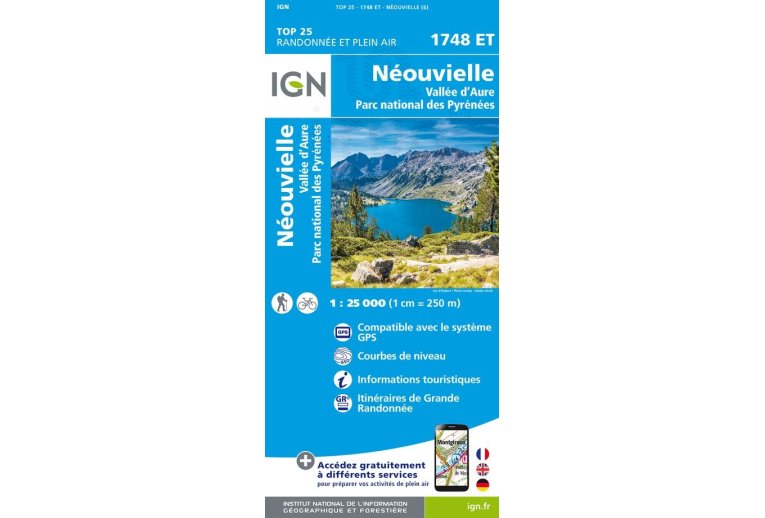
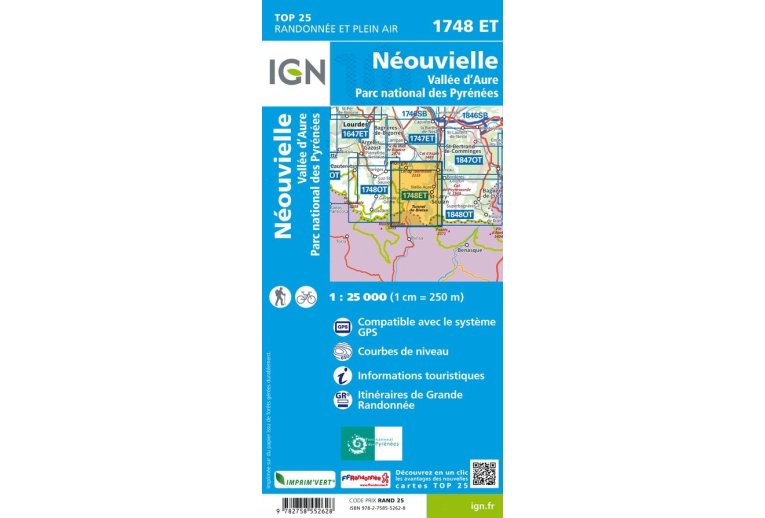
Indispensable for the smooth running of your escapades, the IGN Néouvielle Vallée d'Aure Parc National des Pyrénées 1748ET map allows you to organize your next routes, ensuring you miss no detail.
Produced by the National Geographic Institute, it lists a multitude of details present in the field: communication routes down to the smallest path, buildings up to the barn, woods, isolated tree, river, spring... Not to mention the representation of relief through contour lines. Marked trails and tourist information are also represented.
Covered communes:
Néouvielle, Trameza, Pailhac, Bazus-Aure, Bourisp, Cadéac, Guchan, Gouaux, Arreau, Aspin-Aure, Barrancoueu, Ens, Guchen, Camparan, Aulon, Vielle-Aure, Azet, Vignec, Estensan, Sailhan, Cadeilhan-Trachère, Grailhen, Barèges, Ancizan, Grézian.
Places to discover:
Lac d'Orédon, Lac de Cap de Long, Reserva Nacional de Los Circos, Pic d'Aret, Pics d'Estaragne, le Taoulet, Pic de Néouvielle, Pic de la Munia, Pic d'Arriouère, Pic de Lustou, Sierra Pelada, Sierra de Liena, Pic Long, l'Arbizon, Col du Tourmalet, Cirque de Troumouse, Vallée de Rioumaj, Tour, Hospice de Rioumajou, Chalet-Refuge d'Orédon, Agos, Réserve Naturelle de Néouvielle, Chapelle des Templiers, Refuge de Campana de Cloutou, Zoo, Refuge de Barroude, Refuge de Bastan, Cascade du Garet, Notre-Dame.
Key points of the IGN Néouvielle Vallée d'Aure Parc National des Pyrénées 1748ET map
- Series: TOP25
- Scale: 1/25,000 (1 cm = 250 m)
- Department: Hautes-Pyrénées (65)
- Publication date: 06/03/2022
- GPS compatible
- Contour lines
- Tourist information
- Long-distance hiking routes
- Folded map dimensions (in mm): 110 x 240
- Unfolded map dimensions (in cm): 96 x 132
- Weight: 94 g

