The i-Run team says
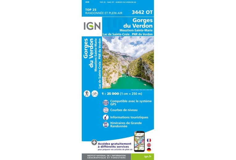
An essential element for the smooth progress of your escapades, the IGN Map Gorges du Verdon Moustiers-Sainte-Marie Lac de Ste-Croix quickly finds its place in your backpack. A true treasure trove of information, it allows you to organize your upcoming itineraries ensuring you don't miss a single detail.
Created by the National Geographic Institute, it lists a multitude of details found in the field: communication routes down to the smallest path, constructions up to the shed, woods, isolated tree, river, spring... Not to mention the representation of relief by contour lines. The marked trails and tourist information are also represented.
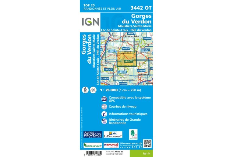
Covered municipalities:
Barr?me, Mallemoisson, Malijai, Saint-Jeannet, Mirabeau, Entrevennes, Senez, Puimoisson, Beynes, Bras-d'Asse, Brunet, Chaudon-Norante, Estoublon, Saint-Jurs, Puimichel, Le Chaffaut-Saint-Jurson, Clumanc, Majastres, Blieux, Saint-Lions, Entrages
Places to discover:
Gorges du Verdon, Montdenier State Forest, Trois Asses State Forest, Cousson State Forest, Sommet de Pr? Chauvin, le Chiran, le Montdenier, le Grand Mourre, Montagne de Coupe, Barre des Dourbes, Gorges de Tr?vans
Key points of the IGN Gorges du Verdon 3442OT map
- Edition date: May 2022
- Series: TOP25
- Scale: 1/25,000 (1 cm = 250 m)
- Department: Alpes-de-Haute-Provence (04)
- Publication date: 18/03/2016
- Compatible with GPS system
- Contour lines
- Tourist information
- Long-distance hiking routes
- Dimensions of the unfolded map (in cm): 96 x 132
- Weight: 94 g


