The i-Run team says
A Reliable Source of Information
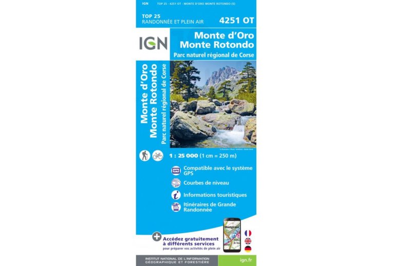
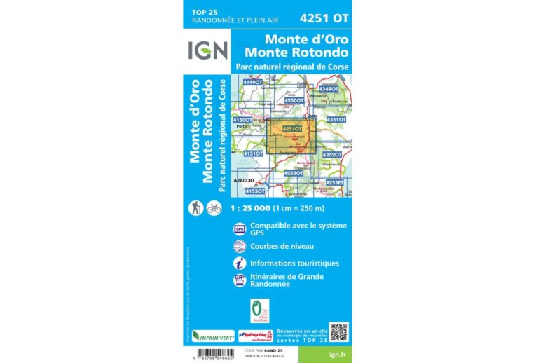
An essential element for the smooth running of your escapades, the IGN Map Monte d'Oro Monte Rotondo Regional Natural Park of Corsica 4251OT quickly finds its place in your backpack. A true mine of information, it allows you to organize your next itineraries ensuring you don't miss any details.
A part of the GR 20, a trail known and appreciated by enthusiasts of demanding hikes, is offered on this map.
Produced by the National Geographic Institute, it lists a multitude of details existing on the ground: communication routes down to the smallest path, constructions up to the shed, woods, isolated tree, river, spring... Not to mention the representation of relief by contour lines. The marked trails and tourist information are also represented.
Covered Communes:
Guagno, Noceta, Soccia, Murzo, Orto, Pastricciola, Letia, Cristinacce, Salice, Rosazia, Rezza, Azzana, Casamaccioli, Poggiolo, Santo-Pietro-di-Venaco, Vivario, Casanova, Corte, Riventosa, Venaco, Muracciole, Poggio-di-Venaco.
Places to Discover:
Corsica, Lac de Nino, Lac de M?lo, Libio Territorial Forest, Corte Restonica Municipal Forest, Venaco Municipal Forest, Vizzavona Territorial Forest, Pastricciola Forest, Vivario Municipal Forest, Corte Campotile Municipal Forest, Tavignano Territorial Forest, Monte Cardo, Monte d'Oro, Punta Renosa, Col De Vizzavona, Monte Rotondo, Punta Felicina, Monte Sant'Eliseo, Capu di u Facciatu, Punta Riccinosa, Mont Tretorre, Cimatella, Punta di Sirenese, Capu Sorru, Punta di Monte Ghiuvanni, Punta di Curiccia, Capu a, Ch?teau de Crans, Abbey of Bonmont, Castle, Cabane du Carroz, Borsattaz Firs, Saut du Day, R?cl?re Cave, Cabane les Pralets, Cabane Rochefort, Signal de Roche d'Or, Cabane Trois Chalets, Chalet de la Dent de Vaution, Orbe Resurgence.
Key Points of the IGN Map Monte d'Oro Monte Rotondo Regional Natural Park of Corsica 4251OT
- Series: TOP25
- Scale: 1/25,000 (1 cm = 250 m)
- Department: Corsica (20)
- Publication Date: 22/05/2019
- Includes a part of the GR 20 route
- Compatible with GPS systems
- Contour lines
- Tourist information
- Grande Randonn?e Routes
- Folded map dimensions (in mm): 110 x 240
- Unfolded map dimensions (in cm): 96 x 132
- Weight: 100 g
