The i-Run team says
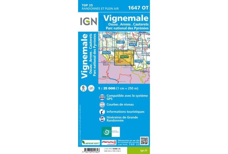
An essential element for the smooth running of your escapades, the IGN Map Vignemale Ossau Arrens Cauterets Pyrenees National Park 1647OT quickly finds its place in your backpack. A true treasure trove of information, it allows you to organize your next routes ensuring you miss no detail.
Produced by the National Geographic Institute, it lists a multitude of existing details on the ground: communication routes down to the smallest path, buildings up to the shed, woods, isolated tree, river, spring... Not to mention the representation of relief through contour lines. Marked trails and tourist information are also represented.
Covered municipalities:
Laruns, Cauterets, Estaing, Arrens-Marsous, Arcizans-Avant, Eaux-Bonnes.
Places to discover:
Lake of Estaing, Lake of Escarra, Lake of Gaube, Lake of Artouste, the Lurien, Pic du Cabaliros, Pic de Ger, Col du Pourtalet, Picos del Infierno, Vignemale, Pic des Taillades or Grand Gabizos, Grande Fache, Bala?tous, Cirque d'An?ou, Pic du Midi d'Ossau, Pic de la Sagette, Garganta del Escalar, Marcadau Valley, Pouey-La?n, Migou?lou Refuge, Bious-Artigues Refuge, Larribet Refuge, Garganta, Gabas Chalet-Refuge, Pont d'Espagne, Estom Refuge, Bayssellance Refuge, Arr?moulit Refuge, Ilh?ou Refuge, Le Dormeur or Bala?tous Refuge.
Key points of the IGN Map Vignemale Ossau Arrens Cauterets Pyrenees National Park 1647OT
- Series: TOP25
- Scale: 1/25,000 (1 cm = 250 m)
- Department: Hautes-Pyr?n?es (65)
- Edition date: February 2022
- GPS compatible
- Contour lines
- Tourist information
- Long-distance hiking routes
- Dimensions of the folded map (in mm): 110 x 240
- Dimensions of the unfolded map (in cm): 98 x 66
- Weight: 90 g


