The i-Run team says
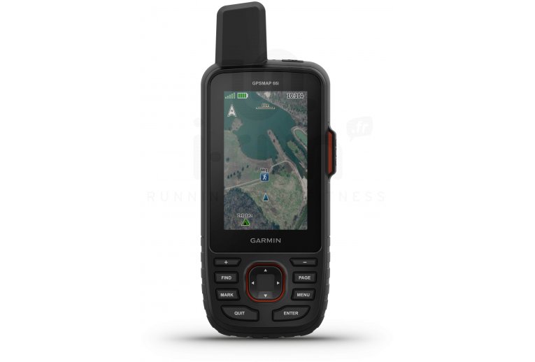
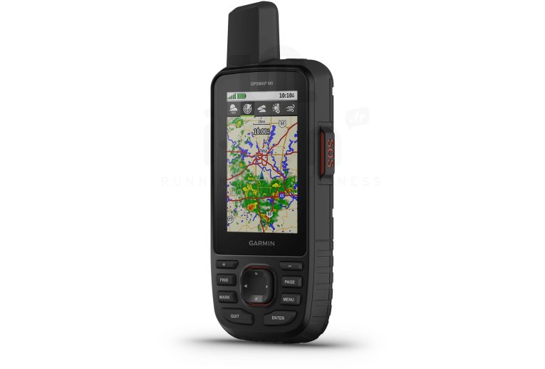
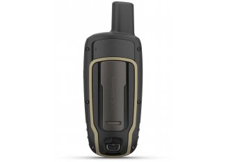
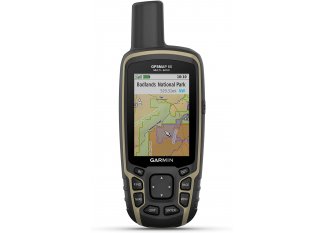
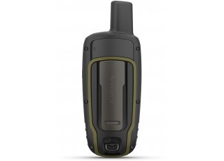
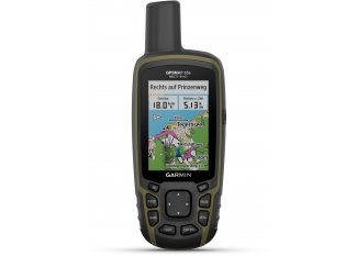
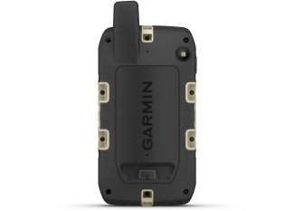
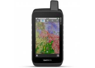
Reliable and highly versatile, the Garmin GPSMAP 66i Hiking GPS is the best adventure partner. You will enjoy its impressive array of features to fully savor your outdoor escapades.
Ideal for providing you with a highly accurate location in all circumstances, it offers multi-GNSS support. You can download high-resolution Birdseye satellite images to better understand your environment. The integrated TopoActive Europe maps enhance your knowledge of the terrain.
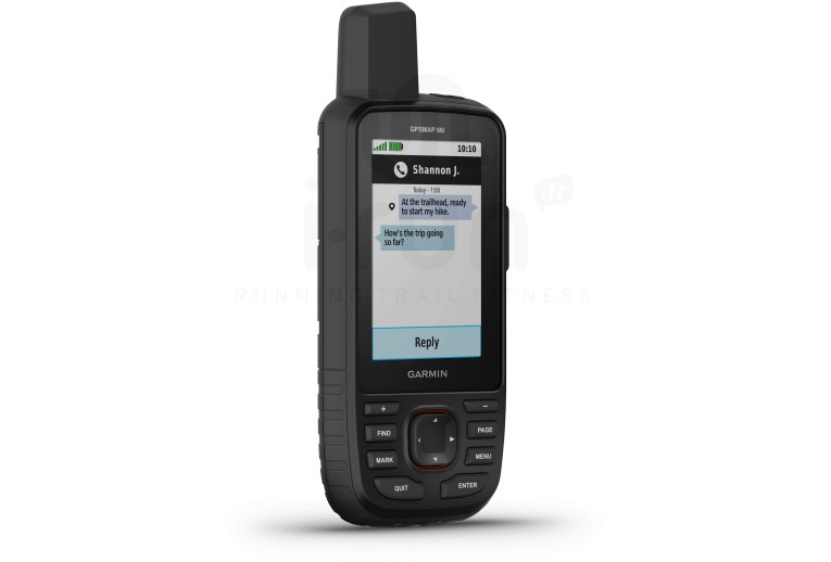
An altimeter, barometer, and compass provide you with crucial information. For even more options, the satellite subscription gives you access to the global Iridium network. You will appreciate staying in contact with your loved ones, sending SOS alerts, or sharing your location.
This model boasts exceptional durability, certified by military standards MIL-STD-810. An integrated LED flashlight is included, and the Garmin Explore app allows you to meticulously organize your itinerary and much more.
The 35-hour battery life for standard use is perfect for meeting your needs. It increases to 200 hours with Expedition mode, designed to maximize battery life.
Key features of the Garmin GPSMAP 66i Hiking GPS
- Multi-GNSS: GPS and Galileo satellite navigation, precise location in all environments
- Birdseye satellite images: download high-resolution maps
- Preloaded TopoActive Europe maps: display peaks, parks, coasts, rivers, lakes, and geographic markers
- Integrated altimeter, barometer, and electronic compass
- inReach Weather on the GPS
- Dynamic weather (paired with your smartphone)
- Send and receive messages: global Iridium satellite network subscription required (not included)
- SOS alerts: global Iridium satellite network subscription required (not included)
- Location sharing: global Iridium satellite network subscription required (not included)
- Compliant with military standards MIL-STD-810: thermal, shock, water resistance, and compatible with night vision goggles
- Water resistance rating: IPX7
- Integrated LED flashlight
- Garmin Explore app: organize and plan outdoor sessions
- Battery life: 35 hours with standard tracking and 200 hours in Expedition mode (records and sends your location every 30 minutes)
- Dimensions: 6.6 x 16.3 x 3.5 cm
- Screen: color, 3.8 x 6.3 cm and 240 x 400 pixels resolution
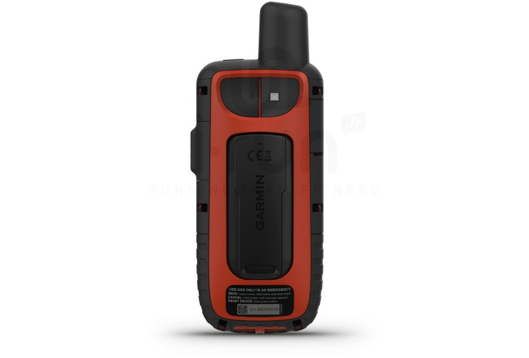
- Color: black and red
Technical description
Physical Characteristics:
- Dimensions: 6.6 x 16.3 x 3.5 cm
- Display size (width by height): 3.8 ? 6.3 cm; 7.6 cm diagonal (3 inches)
- Screen resolution (width by height): 240 x 400 pixels
- Display type: transflective color TFT
- Weight: 241 g
- Battery: rechargeable, lithium-ion
- Battery life: up to 35 hours with tracking intervals every 10 minutes; up to 200 hours with tracking intervals every 30 minutes (power-saving mode - Expedition mode)
- Water resistance rating: IPX7
- MIL-STD-810: thermal, shock, water resistance, and compatible with night vision goggles
- Memory/history: 16 GB
Maps and Memory:
- Preloaded maps
- Ability to add maps
- Base map
- Automatic route generation (turn-by-turn routing)
- Map segments
- Birdseye
- Includes detailed hydrographic features (coastlines, lake and river shores, swamps, and seasonal and perennial streams)
- Includes points of interest with search function (parks, campsites, scenic viewpoints, and picnic areas)
- Displays national, federal, local parks, forests, and natural parks
- Storage capacity and power
- Waypoints
- Tracks
- Track log
- Routes
- Rinex connection
Sensors:
- High-sensitivity receiver
- GPS
- Galileo
- Barometric altimeter
- Compass
- GPS compass (while moving)
Key Features:
- Connect IQ (downloadable watch faces, data fields, widgets, and apps)
- Smart Notifications on wearable device
- Weather
- VIRB remote control
- Compatible with Garmin Connect Mobile
- Dynamic weather
- LiveTrack
- Point-to-point navigation
- Compatible with BaseCamp
- Area calculation
- Hunting/fishing calendar
- Sun/moon information
- XERO locations
- Geocache mode
- Compatible with custom maps
- JPEG viewer
- LED beacon
- Compatible with Garmin Explore for waypoints, tracks, routes, and activities
- Compatible with the Garmin Explore website
- Wireless connectivity: (Wi-Fi?, BLUETOOTH?, ANT+?)
inReach Functionality:
- Interactive SOS
- Text messaging with mobile numbers and email addresses
- Text messaging with other inReach devices
- Position sharing with other inReach devices
- Compatible with MapShare with tracking
- Virtual keyboard for custom messages
- Sending waypoints to MapShare during the trip
- Sending a route selection to MapShare during the trip
- Compatible with inReach
Technologies
-
Iridium
Satellite network offering 100% coverage worldwide. Ability to communicate without a mobile network or in areas with poor reception.
-
LiveTrack
Incident detection and assistance request functions.
-
Mode expédition
You can use expedition mode to extend battery life when recording a multi-day activity.
The device switches to power-saving mode and collects GPS track points once per hour. To optimize battery life, the device turns off all sensors and accessories, including the connection to your smartphone.
-
Vision nocturne
Color screen optimized for use with night vision goggles.
