The i-Run team says
Indispensable for Your Adventures
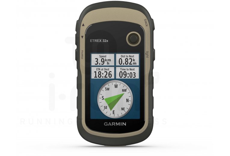
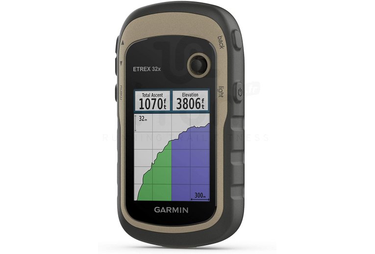
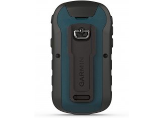
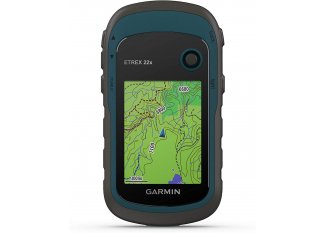
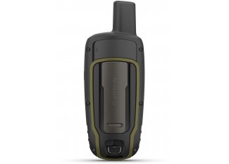
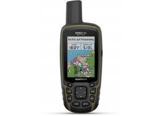
The Garmin eTrex 32x Portable GPS is the essential ally for the smooth running of your hiking trips. Its versatility accompanies you calmly in all circumstances.
You will find essential information such as your position, the difficulty of the terrain, and descriptions even in very isolated places. You also have access to tips to navigate each chosen trail more easily. Conveniently, a barometric altimeter is included.
The preloaded TopoActive Europe maps offer you a multitude of routes and paths to discover on foot or by bike. Its 8 GB internal memory and slot for a microSD card allow you to easily add new maps.
Its 2.2-inch color screen makes reading easy regardless of the lighting. Waterproof, this model withstands inclement weather, and its great robustness makes it a reliable partner in challenging environments.
A 25-hour battery life allows you to focus solely on your goals.
Key Features of the Garmin eTrex 32x Portable GPS
- GPS designed for hiking
- GPS and GLONASS satellites: location and guidance even in isolated environments
- Barometric altimeter
- ANT+ wireless connectivity
- Information on terrain difficulty, terrain description, and tips for progress
- TopoActive Europe: preloaded maps
- Location of points of interest, natural sites, borders, and waterways
- 8 GB internal memory: add new maps
- Slot for a microSD card not included: additional memory
- Worldwide basemap
- Support for geocaching GPX files
- 2.2-inch anti-glare color screen: easy reading
- Resistance to rain, humidity, and dust
- Waterproof: IPX7
- Battery life: 25 hours
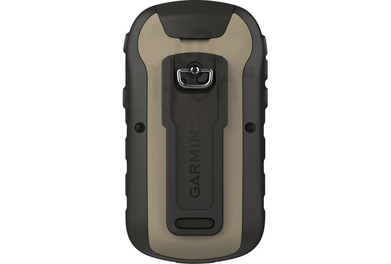
- Dimensions: 5.4 x 10.3 x 3.3 cm
- Colors: black and blue
Technical description
Physical Characteristics:
- Physical Dimensions: 5.4 x 10.3 x 3.3 cm
- Display Size (width by height): 3.5 x 4.4 cm; 5.6 cm diagonal
- Screen Resolution (width by height): 240 x 320 pixels
- Display Type: 2.2-inch color TFT transflective screen, 65,000 colors
- Weight: 141.7 g with batteries
- Battery: 2 AA batteries (not included); NiMH or Lithium recommended
- Battery Life: 25 hours
- Water Resistance Rating: IPX7
- High-sensitivity Receiver
- Interface: mini USB
- Memory: 8 GB
Main Features:
- Preloaded TopoActive Europe Maps (routable on roads and trails)
- Wireless Connectivity: ANT+
- Ability to Add Maps
- Base Map
- Automatic Route Calculation (turn-by-turn routing function)
- Map Segments: 3000
- BirdsEye: 250 BirdsEye Imagery files
- Detailed Hydrographic Features (coastlines, lake and river shores, wetlands, and seasonal and permanent streams)
- Points of Interest with Search Function (parks, campsites, viewpoints, and picnic areas)
- GPS Designed for Hiking
- Displays National, Federal, and Local Parks, Forests, as well as Nature Reserves
- GPS and GLONASS Satellites
- Storage Capacity and Power: microSD™ card not included
- Information on Terrain Difficulty, Terrain Description, and Tips for Progression
- World Basemap
- Support for Geocaching GPX Files
- Base Map
- Waypoints: 2000
- Tracks: 200
- Track Log: 10,000 points, 200 saved tracks
- Routes: 200
- Point-to-Point Navigation
- Basecamp Compatible
- Area Calculation
- Hunting and Fishing Calendar
- Sun and Moon Information
- Geocache Mode
- Custom MAPS Compatible: 100 custom map areas
- JPEG Viewer
Sensors:
- GPS
- GLONASS
- GPS Compass (while moving)
- Barometric Altimeter
