The i-Run team says
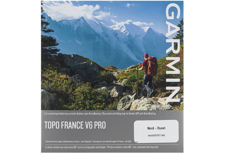
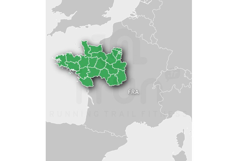
The Garmin v6 PRO topographic map covers the North-West of France to help you best prepare for your upcoming outdoor adventures.
It provides you with a wealth of information on hiking trails, points of interest, and various accommodation options.
The ActiveRouting guidance system offers an itinerary tailored to the current activity, such as hiking, mountaineering, or cycling.
Key features of the Garmin v6 PRO topographic map - North-West of France
- MicroSD card
- Provides a topographic map for the entire North-West region
- ActiveRouting technology: routes adapted to the activity (hiking, mountaineering, and cycling) and difficulty settings
- Information on hiking trails, including Grande Randonn?e (GR) trails, Grande Randonn?e de Pays (GRP) trails, and Promenade and Randonn?e (PR) routes
- Includes points of interest, names of refuges, and accommodations from the Guide G?tes d'?tape et refuges
- Displays digital terrain models
- Minimum space required: 1.6 GB
- List of compatible Garmin devices in the technical sheet
Technical description
Includes topographic coverage of the departments in Northwestern France: 14, 18, 22, 28, 29, 35, 36, 37, 41, 44, 45, 49, 50, 53, 56, 61, 72, 75, 77, 78, 85, 91, 92, 93, 94, and 95.
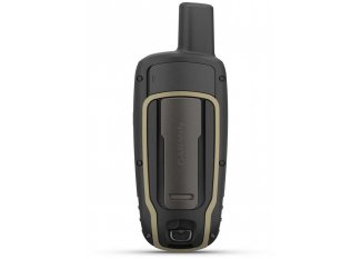
Compatible Devices:
- Alpha® 100F and T 5F/T 5F Mini
- Alpha® 100F and TT™ 15F/TT™ 15F Mini
- Alpha® 200 F
- Alpha® 50F and T 5F/T 5F Mini
- Astro® 320 and T5
- Dakota™ 20
- Edge® 1030
- Edge® 800
- Edge® 810
- Edge® Explore 820
- Edge® Touring
- Edge® Touring Plus
- eTrex® 20
- eTrex® 20x
- eTrex® 22x
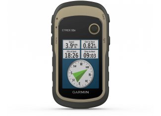
- eTrex® 32x
- eTrex® Touch 25
- eTrex® Touch 35
- eTrex® 30
- Garmin DriveSmart™ 66
- Garmin DriveSmart™ 76
- GPSMAP® 276Cx
- GPSMAP 64sx
- GPSMAP 64x
- GPSMAP® 65
- GPSMAP® 65s
- GPSMAP® 66i
- GPSMAP® 66s
- GPSMAP® 66sr
- GPSMAP® 66st
- GPSMAP® 79
- GPSMAP® 86i
- GPSMAP® 86s
- GPSMAP® 62s
- GPSMAP® 62sc
- GPSMAP® 62st
- GPSMAP® 62stc
- GPSMAP® 64
- GPSMAP® 64s
- GPSMAP® 64st
- GPSMAP® 78
- GPSMAP® 78s
- Montana® 610
- Montana® 680
- Montana® 680t
- Montana® 700
- Montana® 700i
- Montana® 750i
- Montana™ 600
- Montana® 600 Moto plus City Navigator Europe
- Montana™ 650
- Montana™ 650t
- Monterra™
- Oregon™ 650
- Oregon® 400t
- Oregon™ 550
- Oregon™ 550t
- Oregon™ 600
- Oregon™ 600t
- Oregon™ 650t
- Oregon® 700
- Oregon® 700t
- Oregon® 750
- Oregon® 750t
- Oregon™ 450
- Oregon™ 450t
- Tread™
- Tread® - Overland Edition
- Tread® - SxS Edition
- Tread® XL - Overland Edition
Technologies
-
ActiveRouting
A route adapted to the current activity (hiking, mountaineering, cycling) is provided, in addition to the possibility of adjusting the difficulty level. The routes for cycling and walking are displayed in different colors.
