The i-Run team says
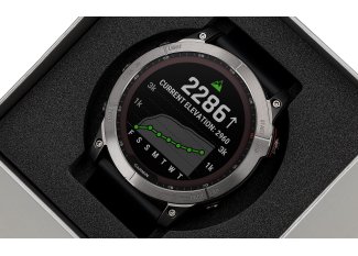
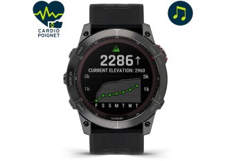
Finnish manufacturing, the SUUNTO Vertical Titanium Solar Black allows you to fully embark on demanding outdoor challenges.
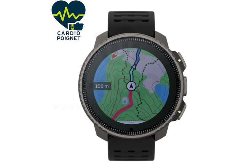
Thoughtfully crafted for exploration, it offers detailed maps of the entire world, available offline. Plan your routes in advance using the app and access essential terrain information.
With GNSS and multi-band GPS, you get exceptional precision in locating yourself even in remote environments. The barometric altimeter provides additional data useful for your progress.
Weather analysis warns you of storms and provides information on air quality, UV index, and humidity.
With over 90 different sports modes, you can track your performance and organize workouts effortlessly. Advanced features for running, cycling, and swimming are available to enhance your practice.
Tested to military standards, it features a particularly resilient sapphire glass screen. It's water-resistant up to 10 ATM meters and offers a snorkeling mode up to 10 meters.
Thanks to its solar recharge, you never run out of power for your adventures. With GPS enabled, it can last from 85 to 30 days. It can follow you for up to 1 year in time-only usage and 60 days with sports tracking activated.
Technical description
Titanium Solar Version: +30% additional battery life thanks to automatic solar charging
GPS and GNSS Multiband: maximum precision
Over 90 different sports modes
Performance and Training Features
- Over 90 pre-installed sports modes on the watch with graphical display
- Stopwatch and countdown
- Locking of buttons during sports activities
- Activity tracking: step counter and calorie consumption versus set goals, activity history
Wellness Functions
- Daily heart rate measurement at the wrist
- Blood oxygen level
- Sleep tracking
- Stress and recovery status
Smart Features
- Automatic firmware updates via wireless connection
- Outdoor maps and satellite imagery
- GPS tracking and navigation via 4 simultaneous satellite systems (GPS, GLONASS, GALILEO, QZSS, BEIDOU) with zoom capabilities
- Combination of GPS and barometric altimeter (FusedAlti™)
- Real-time guiding
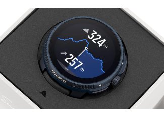
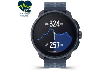
- Route planning with altitude profile
- Dual time zone with hour and date
- Alarm function
- Weather forecast
- Electronic compass
- LED backlight with automatic brightness adjustment
- Battery level indicator
- Sharing of notifications and comments
- Tracking other members and viewing comments via activity display
- Smartphone notifications on the watch
- Music control
- Automatic switch to daylight saving time
- Bluetooth (compatible with Bluetooth HR belt)
Materials and Specifications
- Titanium bezel
- Sapphire watch glass
- Case made of reinforced glass fiber's polyamide
- Diameter: 49 mm
- Thickness: 13.6 mm
- Waterproof: up to 10 AT (100 meters depth)
- Display: 1.4" with 280x280 pixel resolution
- Weight: 74 g
- Color: black
- Battery life: with GPS: 85 hrs; (Performance mode), 140 hrs. (Endurance mode), 280 hrs. (Ultra mode) and 30 days Tour mode), in time mode only: 1 year, with recording of your sports data: 60 days
Included Accessories
- Silicone strap (125-175 mm)
- Charging cable
- User manual
Technologies
-
GPS
The route planner, along with the "Find Home" (return home) and "Track Back" (return) functions, allows you to navigate through unknown spaces with complete safety and simplicity.
-
Altimètre
Calculate the altitude, the rate of ascent or descent, and provide an overview of the progress during a stopover.
-
Cardiofréquencemètre
The altimeter and heart rate measurement functions analyze how the heart responds to altitude and easily find the hiking pace.
-
Baromètre
Detect sudden changes in weather conditions by keeping an eye on the barometric pressure.
-
Boussole
Allows navigation and determination of landmarks on the horizon to find one's way in the wilderness and in conditions of poor visibility.
-
Alarme d'orage
Triggered by a rapid drop in barometric pressure, the storm alarm warns of the imminent deterioration of weather conditions.
-
Alarmes de lever/coucher du soleil
To avoid being caught off guard in the dark with the indication of sunrise/sunset times for over 400 locations around the world.
-
Cartographie hors ligne
Discover the world around you with free offline maps that display terrain details, paths, and contour lines.
-
FusedAlti
FusedAlti provides an altitude reading by combining GPS altitude and barometric altitude. This technology reduces temporary errors and discrepancies in the final altitude measurement.
-
FusedSpeed
FusedSpeedTM uniquely combines the measurements taken by the GPS and the wrist acceleration sensor to more accurately measure your running speed. The GPS signal is adaptively filtered based on the wrist acceleration, resulting in more precise readings at constant running speeds and faster adjustments to speed variations.
-
Ghost runner
This feature allows you to have a virtual pacer to accompany you on your runs. During your first kilometer, the ghost will determine your target pace (which will be the average of your first kilometer). Then, based on your speed, the value in the center that represents the distance to the virtual pacer will be either positive if you are ahead, or negative if the pacer is ahead of you. You can also set the target pace by doing a "lap"; it will be set to the average pace of the lap. Additionally, you can add a time or distance goal, and the estimated value at the end of the goal will appear at the bottom of the screen based on your current speed.
